
There are many ways that we rely on and read maps in our daily lives. Maps and plans can provide a simple and clear form of communication. They are essential tools to aid discovery and an important way to pass information on to others.
Pupils need to learn how to describe where they are and record information in their local environment. They should be able to identify the UK and gain a familiarity with Europe and the world.

Using maps and plans can really engage and inspire young children, developing their sense of curiosity and wonder. Even the youngest students will love reading, and using maps both the in and out of the classroom.
Young children will become very familiar with their own classroom environment both indoor and outdoor. Pupils will need to practise describing where they are in their classroom with reference to other people and objects. Children could describe their journey using vocabulary such as ‘opposite, next to, in front of, left and right.
“A clearly mapped journey starting in the early years and developing through the curriculum is critical if pupils are to move towards becoming experts in the subject.”
Ofsted, 2021
Together, students could create a map of their classroom by drawing significant objects/areas such as the storytelling area or mud kitchen and colouring them in using different colours.
Children could add colours and a coding system to a map of the school, showing different types of rooms. Pupils can discuss why their school has been organised in a particular way or even produce their own improved plans! They can create their own symbols, adding them to a school plan which can be shown to school visitors. Perhaps children could design their own ‘dream playground’ thinking carefully about their favourite places to play. This can be really useful when making playground improvements.
Using a classroom map, pupils can play ‘Toy Detectives,’ one pupil leaves the room whilst another hides a class toy for the pupil to find. When the child returns, they look at ‘x marks the spot’ to find the toy. A school ‘Treasure Hunt’ is always a highly favoured activity.
Pupils can use a school plan to find numbered objects hidden in different locations. Clues can also be given, such as ‘What is made of wood and provides shelter for animals?’. A simple grid can be drawn onto a map of the school environment which would allow children to state grid references of the place items were found.
Pupils will come to school with some existing knowledge of their surroundings including their own home, street, and local area. Pupils should be able to describe where they live when looking at local street plans. Concentric circles can be drawn onto a map with the school at the centre. Pupils can identify points of interest such as buildings, green spaces, footpaths and their own homes within the coloured circles.
Young students will enjoy making a picture map of their local area or school grounds. Paths, roads and rivers can be drawn to show links between places and objects. Picture maps can be really useful when telling stories or creating imaginary settings. When children are asked to draw maps of their homes and local areas, they can also talk about the places. This allows us to gain an understanding of their geographical thinking. For some learners, junk modelling or construction kits could be useful to physically build a map of the local area.

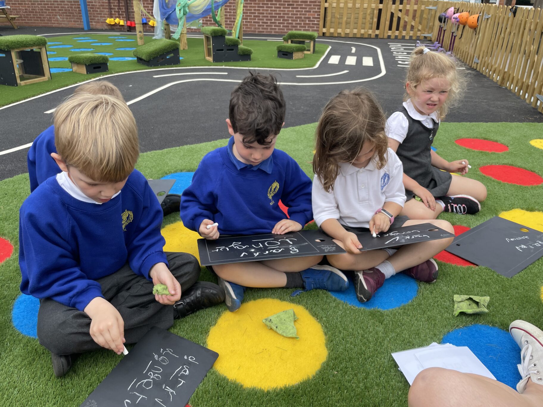
Compass points can be introduced in the outdoor environment. At first, pupils can begin to understand what ‘north’ means by looking at a globe and explaining if we continually travel north, we will end up at the North Pole. Classes can move to different places in their school grounds and each time they stop can be asked to face north. When first introducing compass points to younger children it can be useful to use metre sticks to create a cross on the ground and write compass points using chalk. Instructions linked to the mathematical understanding of angles can be given such as: ‘Face North, turn clockwise 90⁰, which direction are you facing? ‘Face South, turn 90⁰ right, where are you facing now?
Ofsted recently reported in their Research Review for Geography (2021) that important geographical skills such as using maps, atlases, globes, locational and directional language, devising maps and using Ordnance Survey maps and fieldwork were not taught particularly well in primary schools. Therefore, it is important to ensure that maps, atlases and globes are used regularly across schemes of work so that skills can be applied to different places and contexts. Schools can integrate maps as part of their fieldwork within the school and beyond.